Land is cleared for riverside park in lock restoration project
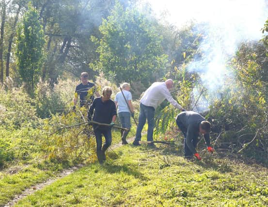

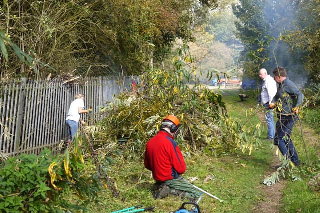
Members of Melton and Oakham Waterways Society (MOWS) are clearing a 300-metre stretch of land with the aim of creating a riverside parkland close to Eye Kettleby Lock, which was the last lock cargo barges passed through to enter Melton.
Society volunteers have spent the last two weeks working on the project and have also been joined by members of Melton Matters Wombles, who have been collecting rubbish as the vegetation is cut back.
Advertisement
Hide AdAdvertisement
Hide AdOn their first day, they collected 14 bags of rubbish and two sacks of cans, as well as big amounts of metal which had been thrown in the bushes.


Mows was formed in 1995 dedicated to restoring the Melton Navigation, which was a busy transport route in the 1880s and had 12 locks along its 15-mile length from Syston.
Committee member, Jono Hewitt, who is spearheading the project, said: “There is a long way to go but we are hoping the Eye Kettleby lock will be the first of the Navigation’s 12 locks to be brought back to working order.
"This would enable us to operate boat trips from the town and enjoy the experience of being in a lock.
Advertisement
Hide AdAdvertisement
Hide Ad“In the meantime, we are clearing the land leading to the lock which will provide both a very pleasant riverside location and also enable us to easily access the lock when we are able to begin work.”
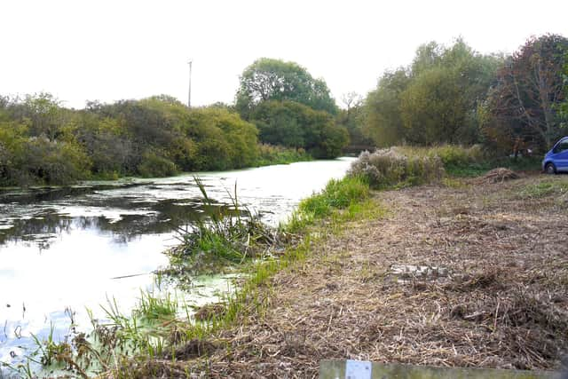

Today Eye Kettleby lock is covered in thick growth and can barely be seen but it is believed to be in remarkably good condition.
Some years ago, the Environment Agency, which manages the river, filled the lock in with boulders as a flood control measure and diverted the river over a weir but before doing so, they lined the brick walls to preserve them.
A bridge by the lock connects to Rhubarb Island, which was given its name because of the rhubarb-like plants which grow there.
Advertisement
Hide AdAdvertisement
Hide AdThey are actually butterbur which were once used to wrap butter pats and take them to market.

Operating from 1797 to 1877, the Melton Mowbray Navigation followed the course of the River Wreake from the River Soar near Syston to a cargo basin where the Melton Council offices now stand.
The basin was also the start of the 16-mile Oakham canal.
The Boat Inn was a popular quayside pub throughout the 19th century.
Horse-drawn barges would bring Derbyshire coal into a basin and agricultural produce, wood and manure would be taken in the opposite direction for export to the rest of the country.
Advertisement
Hide AdAdvertisement
Hide Ad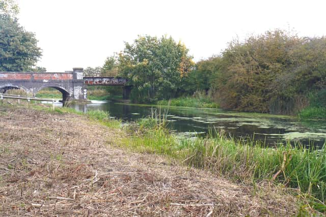

During their voyage, the barges would pass through 12 locks, which controlled the flow of water, and 10 still exist today.
The ultimate aim of MOWS is to restore the Navigation so vessels can once again sail into the heart of Melton Mowbray.
Both MOWS and the Wombles always welcome new volunteers and details of upcoming projects can be found on their respective Facebook pages.