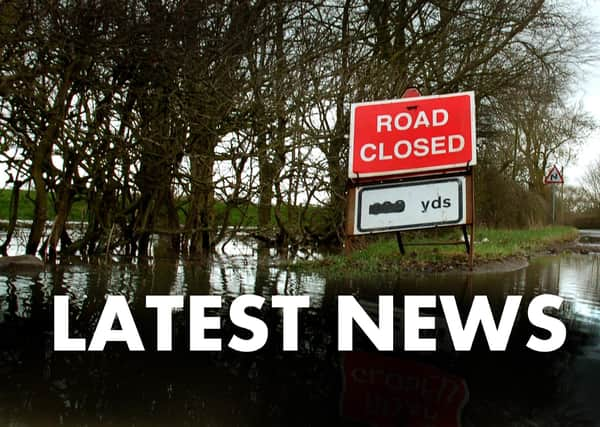
Flood Watch - Melton Mowbray


An amber warning has been issued by the Environment Agency for Leicestershire indicating that there is a strong risk of flooded properties and highways.
A flood alert has also been made for residents living in villages close to the River Wreake, to the west of Melton Mowbray, with rain expected to continue through to Thursday.
Advertisement
Hide AdAdvertisement
Hide AdLeicestershire Fire and Rescue Service have sent out a strong warning to motorists to not attempt to drive through floodwaters.
Matt Cane, area manager for operational response with the brigade, said: “We strongly advise members of the public to never attempt to drive through flood water.
“If you cannot see the road surface beneath the water, it is too deep to drive through.
“Just six inches of water can cause you to lose control of your car, or stall it when water is sucked into the engine and exhaust.
Advertisement
Hide AdAdvertisement
Hide Ad“Two feet of flowing water can sweep away most vehicles, including large 4x4s.
“If you come across a flooded road, find an alternative route and ensure you pay attention to any ‘Road Closed’ signs.
“If there is a risk to life or you are physically trapped by flood water, call us on 999 – we are still here to help.”
Here are some of the reported flooded roads so far today (the list will be updated as the day goes on):
Advertisement
Hide AdAdvertisement
Hide Ad*** B676 to Wymondham flooding/standing water. Wymondham not safe to pass at the usual stream;
*** A46 under the bridge at Six Hills;
*** Station Lane, Asfordby;
*** Hoby Road, Asfordby;
*** A607 near Kirby Bellars;
*** Kirby Lane, Melton (at junction with Camomile Road);
*** Back Lane near Eye Kettleby Lakes;
*** Saxelby Road, Asfordby;
*** Saxby Road, Melton, at junction with Lag Lane.