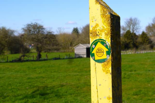
Hundreds of waymarkers now guide walkers on the historic Melton Navigation route


Leicestershire County Council gave permission for a new symbol to be attached to the posts along the various footpaths which make up the fascinating 15-mile trail from Melton to Syston.
And footpath rangers from the Melton & Oakham Waterways Society (MOWS) will shortly complete the marking of the Melton Navigation route.
Advertisement
Hide AdAdvertisement
Hide AdThe rangers keep a watch on separate sections of the river and adjoining footpaths and report back on any problems they encounter.
The recognition of the trail by the county council followed last year’s publication by MOWS of a book of six walks along the Rivers Eye and Wreake, which has been so popular that it has just been reprinted for a third time.
Mike Patterson, who looks after the Navigation area around Frisby, said: “The publication of the book of walks last year has encouraged many more people to come and discover the beauty of our rivers and now the addition of Navigation stickers to the waymarkers will make it easier for walkers to keep to the right path.
“We are now planning to hold organised walks along parts of the route where we will be able to point out features of interest, including the old locks which allowed the barges to move up the river.”
Advertisement
Hide AdAdvertisement
Hide AdThe Navigation, which opened around 1794, largely followed the course of the rivers and enabled horse-drawn barges to carry cargo into Melton for nearly 100 years.
It is no longer possible to walk alongside the river all the way because, when the Navigation was abandoned in the late 1800s, the towpath – along which horses would pull their barges – reverted to private landowners.
Most of the 12 original locks, which were built to maintain water levels for mills and enable barges to travel uphill, can, however, still be seen and some are in remarkably good condition.
The rangers plan to work with other organisations, including Leicestershire Round organisers, to ensure the footpaths are kept open.
Advertisement
Hide AdAdvertisement
Hide AdThey met last week at the Bell Inn community pub in Frisby on the Wreake with the Round’s David Williams, who provided information on the experience gained since the 100-mile footpath was created in 1987.
The Round works closely with the county council and landowners and organises regular work parties to maintain the path.
The book, which is called The Melton Navigation – short walks along the River Wreake, gives details on six walks along the route.
Most walks take around a couple of hours for both the outward and return journey and some include a circular route.
Advertisement
Hide AdAdvertisement
Hide AdBoats using the Navigation followed the course of the Rivers Wreake and Eye from the River Soar, near Syston, to a cargo basin where the Melton Borough Council offices now stand.
Costing £3.95, the 40-page book is available at a number of outlets in Melton and the villages along the route.
Further details on the publication can be viewed on the MOWS Facebook page.